#201 - 5760 Teredo St
Sechelt, BC V0N 3A0
Canada
Sechelt, BC V0N 3A0
Canada
|
#201 - 5760 Teredo St
Sechelt, BC V0N 3A0 Canada |
|
|
1834 MAP OF BRITISH NORTH AMERICA
REFLECTS UNCERTAIN BORDER WITH USA SECHELT, BC — NOVEMBER 9, 2008 — Local real estate agent Gary Little has written the following article relating to an 1834 map of British North America. This is one in a planned series of articles on the history of B.C. to celebrate the sesquicentennial of the founding of the Crown Colony of British Columbia in 1858. This map reflects the uncertain nature of the boundary between British and American possessions in northwest America prior to 1846. It was published in 1834, 50 years after the ratification by the United States Congress of the Treaty of Paris which formally ended the American War of Independence.
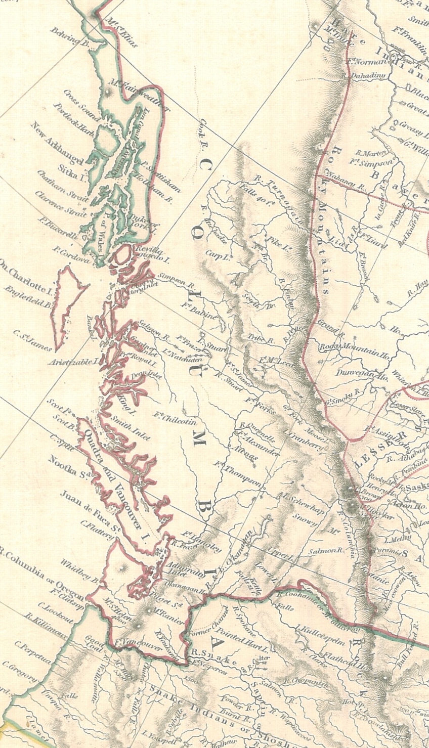
Map of British North America — 1834 Notice the unfamiliar looking boundary west of the Rocky Mountains to the Pacific coast dividing British and American territories. Since this is a British map, it understandably reflects the British claims of the day to the lands south to the mouth of the Columbia River. Although the 49th parallel had been established as the boundary east of the Rockies to Lake of the Woods by an 1818 British-American convention, the boundary west of the Rockies — today's British Columbia / USA border — remained in dispute. The area to be divided, referred to as the Oregon Territory or Columbia District, ranged from 42° (the present Oregon-California border) to 54°40' (the southern tip of the Alaskan panhandle). In 1845, the slogan "Fifty-four Forty or Fight" was adopted by U.S. expansionists who sought the annexation of the entire Oregon Territory. It was not until 1846 that a compromise was reached: the boundary would continue along the 49th parallel from the Rockies to the Pacific, then would zig-zag through the waters of southern Georgia Strait and Juan de Fuca Strait to allow all of Vancouver Island to remain British. (The precise routing of the boundary through the Gulf & San Juan Islands was not established until October 21, 1872 when arbitrator Kaiser Wilhelm of Germany imposed the current international boundary.) Notice also the appearance of Fort Langley on this map. It was built by the Hudson's Bay Company in 1827 and was an influential supply depot in the HBC's network of fur trading forts. On November 19, 1858 — 24 years after this map was published — it was here that the official ceremony proclaiming the creation of the Crown Colony of British Columbia by England was held.
This steel engraved map was published in London by Baldwin & Cradock for the Society for the Diffusion of Useful Knowledge. It was engraved by J. & C. Walker.
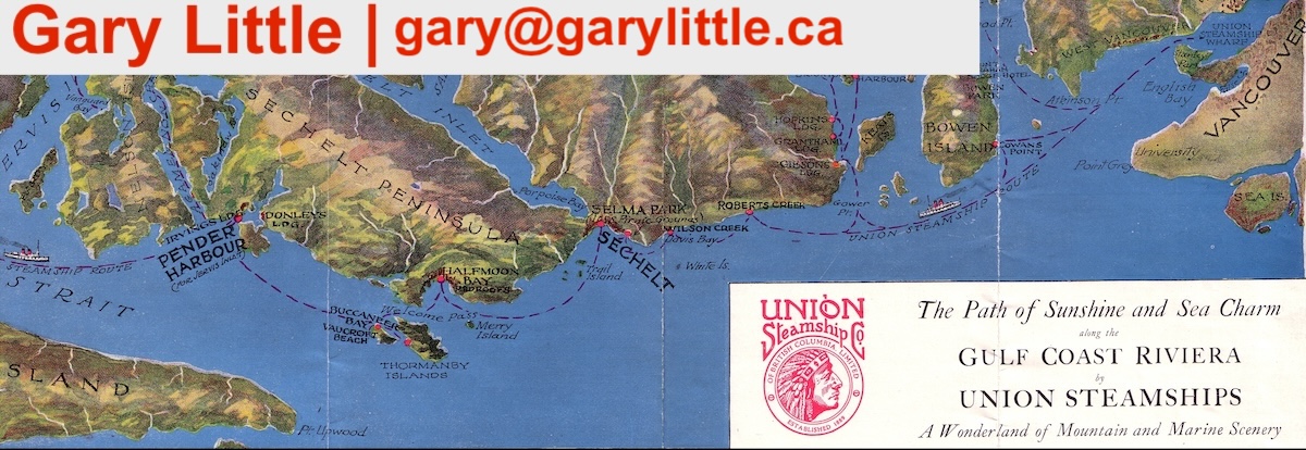
Gary Little is a realtor® and licensed real estate trading services representative in the offices of Royal LePage Sussex in Sechelt, British Columbia, Canada. He is a former senior software marketing manager, having previously worked in Silicon Valley for almost 20 years at the worldwide headquarters of Apple Inc. and Sun Microsystems, Inc. He is well known for his interactive real estate map of the Sunshine Coast (map.garylittle.ca).
CONTACT INFORMATION
Gary Little, realtor® This news release is located online at: http://www.GaryLittle.ca/maps-historic/bna1834.html |